Ascent Routes to Mount Rinjani: Choosing the Perfect Trail for Your Trek
Mount Rinjani ($3,726\text{ m}$) is the majestic crown jewel of Lombok Island. For trekkers looking to conquer this active volcano, the journey begins long before setting foot on the mountain. You must first choose your gateway.
Gunung Rinjani National Park features several official trekking paths. Each trail offers completely different starting altitudes, terrain, ecosystems, and final destinations. Selecting the right path can mean the difference between a grueling endurance test and a scenic mountain adventure.
Here is the complete breakdown of the primary ascent routes to Mount Rinjani to help you choose the perfect trail for your fitness level and travel goals.
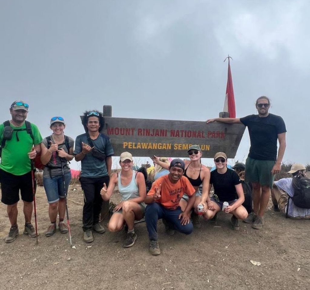
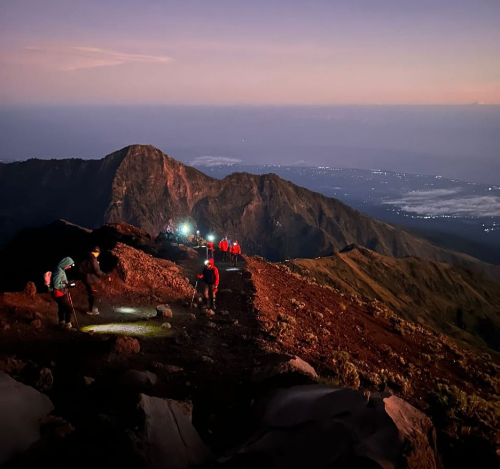
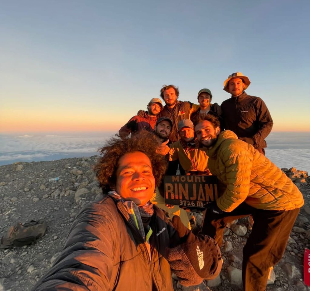
1. The Sembalun Route (The Summit Route)
Located on the eastern side of Lombok, Sembalun is the most popular starting point for hikers whose primary objective is to stand on the absolute $3,726\text{ m}$ summit.
Starting Elevation: ~1,100 meters above sea level.
The Terrain: Open savanna grasslands, rolling hills, and exposed volcanic ridges.
Best For: Summit seekers and sunrise photography.
Trail Characteristics:
Because you start at a higher elevation, the initial incline is relatively gentle. However, the first three positions (Pos 1 to Pos 3) offer virtually no canopy cover. Walking through the wide, golden savanna under the intense tropical sun can be incredibly draining, making high-factor sunscreen and a wide-brimmed hat mandatory.
The trail turns into a steep, zig-zagging dirt climb up the “Seven Hills of Regret” (Bukit Penyesalan) before topping out at the Sembalun Crater Rim ($2,639\text{ m}$), your launchpad for the 2:00 AM summit push.
2. The Senaru Route (The Jungle & Lake Route)
Situated in the lush northern foothills, Senaru is the classic, long-established route that treats hikers to Rinjani’s deep, pristine wilderness before reaching the volcanic landscapes.
Starting Elevation: ~600 meters above sea level.
The Terrain: Dense, humid tropical rainforest turning into rocky alpine slopes.
Best For: Shaded hiking, families, and direct crater lake access.
Trail Characteristics:
Starting from Senaru means you have a massive $2,000\text{ m}$ vertical climb ahead of you just to reach the crater rim. While it is physically demanding, you are fully sheltered by a thick jungle canopy for the first 5 to 6 hours. This keeps you cool and offers excellent opportunities to spot exotic wildlife, like the rare Ebony Leaf Monkey.
The trail opens up into a dramatic rocky ridge leading to the Senaru Crater Rim ($2,641\text{ m}$), which boasts what many consider the finest panoramic view of Segara Anak Lake and the active Mount Barujari cone.
3. The Timbanuh Route (The Southern Ridge Route)
For adventurous trekkers looking to avoid the crowds of the northern trails, Timbanuh in East Lombok offers a wild, technical, and deeply rewarding alternative.
Starting Elevation: ~950 meters above sea level.
The Terrain: Farmland, dense jungle, and narrow, steep volcanic ridges.
Best For: Experienced hikers seeking solitude and a unique perspective.
Trail Characteristics:
The Timbanuh route climbs up the southern rim of the caldera. It is a shorter but significantly steeper trail compared to Sembalun. After pushing through the southern jungle belt, you climb along a dramatic, narrow ridge to reach the Tembesi Crater Rim (~2,800m).
⚠️ Note: You cannot easily access the absolute highest $3,726\text{ m}$ peak from this trail. Instead, it leads to Rinjani’s second-highest peak (the Southern Summit, ~3,500m) and offers a steep, adventurous path straight down to the edge of the crater lake.
4. The Aik Berik Route (The Water & Wildlife Route)
Located in Central Lombok, Aik Berik is a hidden gem focused heavily on eco-tourism, pristine forests, and beautiful water features.
Starting Elevation: ~550 meters above sea level.
The Terrain: Protected rainforests, volcanic rivers, and grassy plains.
Best For: Nature lovers, birdwatchers, and a more relaxed pace.
Trail Characteristics:
Aik Berik does not lead to the highest summit, nor does it typically loop around the entire caldera. Instead, it takes you through some of the richest biodiversity in the national park. The trail is packed with beautiful waterfalls, mountain springs, and frequent sightings of wild deer and exotic birds. It terminates at the crater rim overlooking the lake from the south, offering a quiet, deeply peaceful camping experience far away from the main tourist crowds.
Route Comparison at a Glance
| Trail Head | Target Destination | Crowds | Difficulty | Key Highlight |
| Sembalun | Main Summit ($3,726\text{ m}$) | High | Hard | Golden Savanna & Sunrise Push |
| Senaru | Senaru Crater Rim | High | Moderate-Hard | Deep Rainforest & Lake Views |
| Timbanuh | Southern Rim & Lake | Low | Hard / Technical | Raw Ridge Scrambling & Solitude |
| Aik Berik | Southern Crater Rim | Very Low | Moderate | Waterfalls, Flora, & Fauna |
The Ultimate Recommendation: The 3D2N Combo Circuit
If you want the complete Mount Rinjani experience, the vast majority of guiding agencies recommend a combination circuit.
The most iconic itinerary is to start at Sembalun and exit through Senaru (or vice versa) on a 3 Days 2 Nights trek. This brilliant route allows you to tackle the summit on Day 2 from the Sembalun side, descend into the caldera to soak in the volcanic hot springs, trek across the lakebed, and then hike out through the gorgeous Senaru rainforest on Day 3.
Whichever path you choose, ensure you pack properly for extreme micro-climates, train your legs for heavy inclines, and always trek with a licensed local guide to preserve and respect this sacred Indonesian volcano!

Mount Rinjani Trekking and Lombok Tour Organizer

Rinjani Escape Tour and Trekking Company
Copyright © 2025. All Right Reserved.